Austin
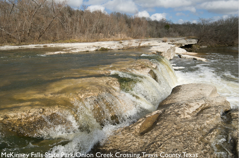
McKinney Falls State Park
“Listen to Onion Creek flowing over limestone ledges and splashing into pools. Follow trails winding through the Hill Country woods. Explore the remains of an early Texas homestead and a very old rock shelter. All of this lies within Austin’s city limits at McKinney Falls State Park – what are you waiting for?” (Texas Parks and Wildlife)
Historical crossing point located at Upper Falls
Located at: McKinney Falls State Park – 5808 McKinney Falls Pkwy, Austin
Texas Parks and Wildlife
Bastrop
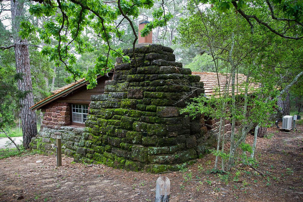
Bastrop State Park
“For more than 70 years, folks have visited Bastrop State Park to enjoy its history and marvel at the Lost Pines. Forest fires and floods have ravaged the park in recent years. Now comes rebirth: new trees, new plants and new life. Come see the park’s recovery from nature’s fury.” (Texas Parks and Wildlife)
Located: 100 Park Rd, Bastrop, Texas, 78602
Bastrop State Park
Gause
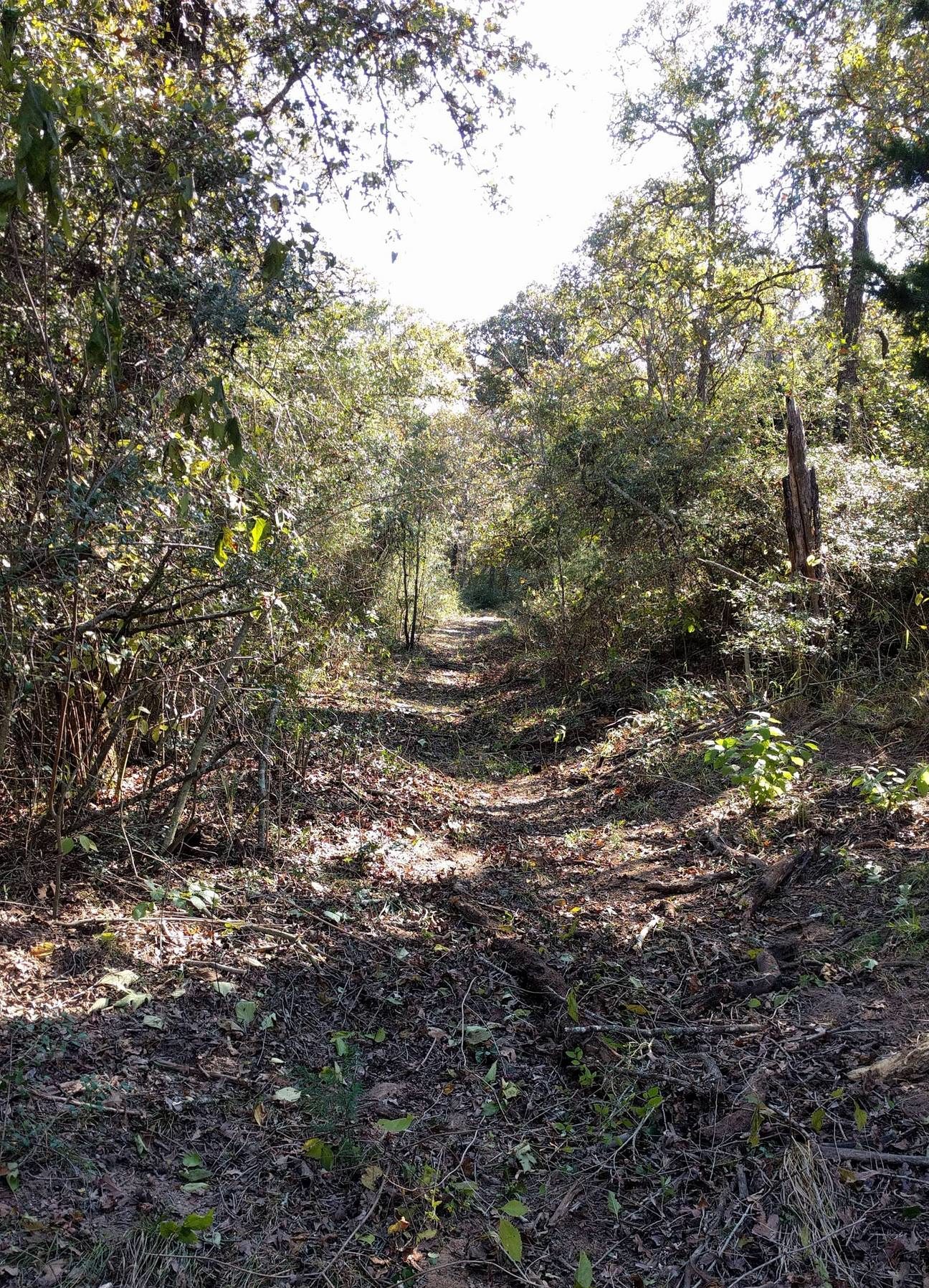
Walk the Ranchería Grande
This retracement trail is a small part of El Camino Real de los Tejas National Historic Trail that passes through a portion of the Ranchería Grande area. The trail was initially formed by Indigenous People and was ever-changing due to weather, relations among tribes, terrain, settlement, and modes of transportation. The walk is 2.2 miles round trip on private property. You will be on pleasant woodland trails. All the trails are natural and of moderate difficulty to walk on, so watch out for holes, sticks, snakes, and wildlife. Half of the route is through a working cattle ranch
Walk to the Rancheria Grande’s mission is to provide opportunities for the enhancement of knowledge of the environment, and to further provide visual resources that will create an appreciation of the native livelihood that our forefathers experienced as they established an existence that continues to inspire and amaze us today (as penned by Elaine Baumann, landowner).
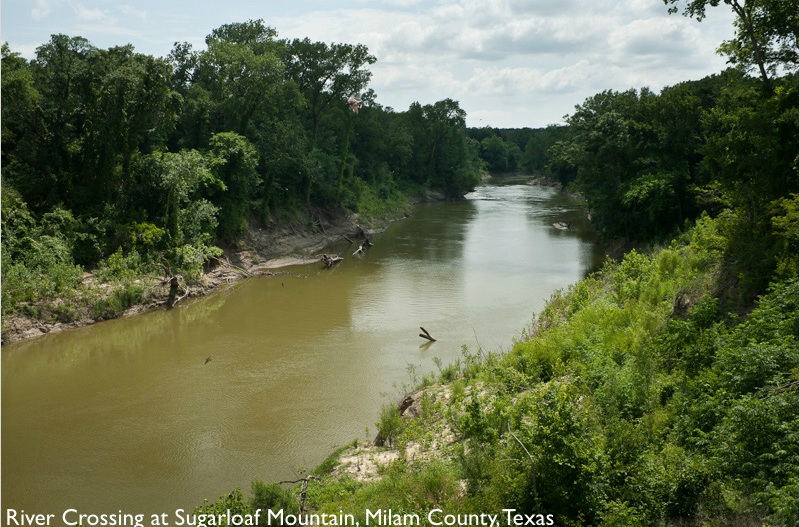
Red Mountain
Red Mountain has also been referred to as Sugarloaf Mountain as well as Naton Samox. “Sugarloaf Mountain is located near the confluence of Little River and Brazos River and is capped with red sandstone rock. A large American Indian group lived in a village known as Ranchería Grande de los Ervipiame. Remnants of twenty-two nations comprised the group, but the Ervipiame were the dominant members. Some of the Ervipiame later entered the San Antonio missions, but most joined the Tonkawa, Mayeye and Yojuane tribes.
Early American settlers learned of the Indian trails and used them when traveling. Sugarloaf Mountain was an important landmark on the old road system, later identified as part of the El Camino Real or The King’s Highway, and was used until 1790. During the 1820s, a similar route was used that traveled from San Felipe to the Waco Indian village, which later became Waco. In 1866, Texas Governor J. W. Throckmorton sent a letter to the Department of Indian Affairs granting the Tonkawa people a league of land in the area, but they were already relocated to Oklahoma in the 1850s and never received their land. Developers James Jackson and Jon Holloway purchased the land that contained Sugarloaf Mountain which they divided and resold. During this time, the top of the mountain was removed because it was believed to hold treasures but after public outcry, the digging stopped. The mountain is recognized by Milam County, the State of Texas and the National Parks Service as an important landmark. Many from the Tonkawa Native American tribe believe that Sugarloaf Mountain is the site of the origins of their people. In 2004, the El Camino Real de los Tejas was designated as the first National Historic Trail in Texas. (2012)” (Milam County Historical Commission)
Located at: 5213 County Road 264, Gause, Texas, 77857
Milam County Historical Commission
Rockdale
Apache Pass
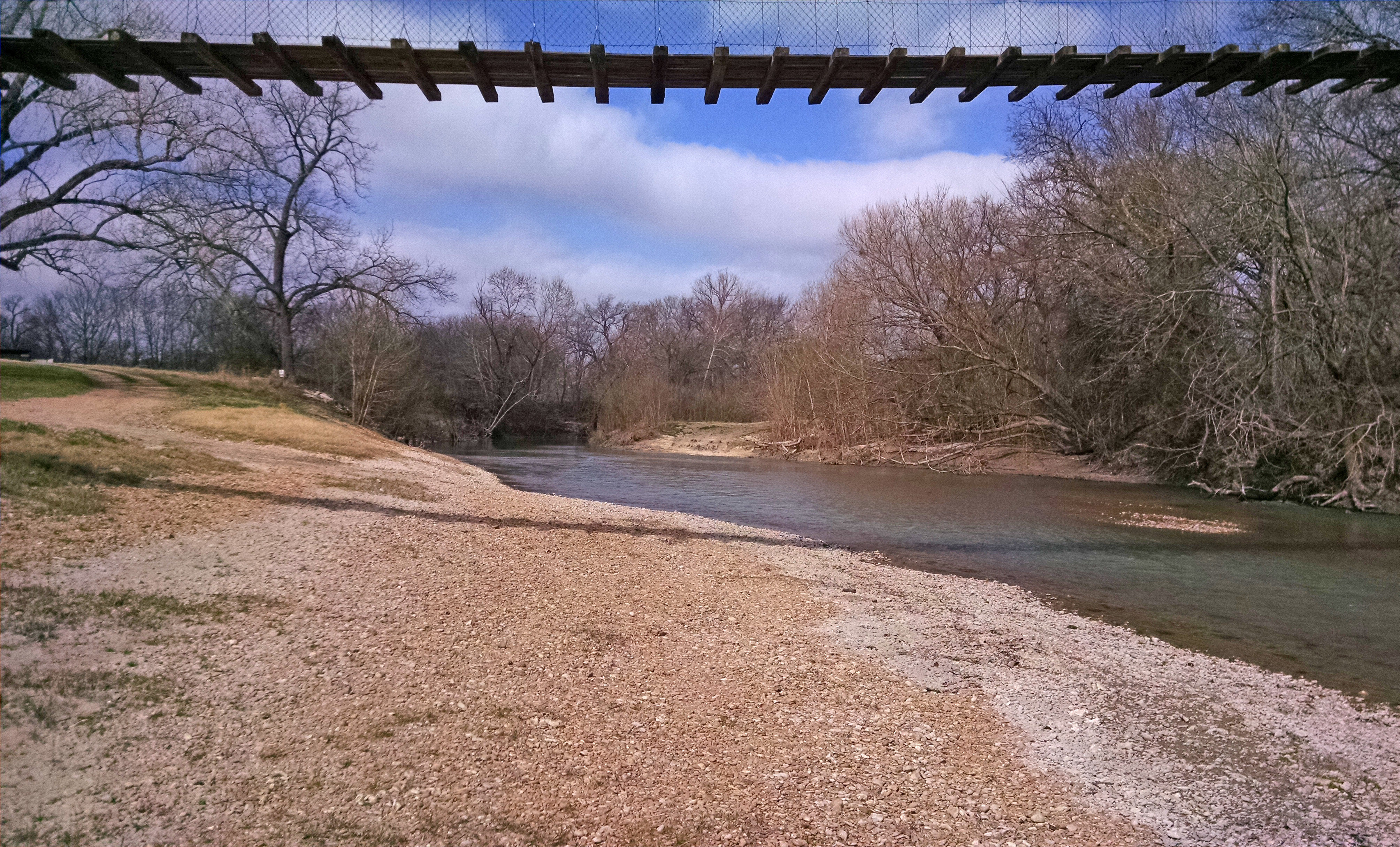
This historic ford is located within the San Xavier Mission Complex National Archaeological District that includes three missions and a presidio. This crossing of the San Gabriel river is near two archaeological site (a possible presidio) and (possibly Mission Candelaria) and upstream from Missions San Francisco and San Ildefonso. The ford can be easily observed from a point on a suspension bridge just downstream of the crossing. (National Park Service)
Located: 9112 N FM 908, Rockdale, Texas, 76567
Apache Pass Website