The Archaeology of the Swisher Homestead
Unearthing provenance of cultural material assemblages found at the original 1840s Swisher Homestead, aided by 19th-century historic records, archaeologists have reconstructed the daily lives of the Swisher Family and their slaves. As a signer of the Texas Declaration of Independence, James G. Swisher selected his property, built his two-room farmhouse, and established his ferry crossing founded on antecedent Spanish Colonial commercial trade routes of El Camino Real de los Tejas. Discovered within an urban setting of downtown Austin, Texas, the Swisher Family imbued the Accumulative Landscape with their Retrospective Memory. In the Swisher Ante-Bellum Plantation Occupancy form settlement pattern, Anglo, Afro-Caribbean, and Coahuiltecan people interacted and shared an intermeshed lifestyle. Funded by The Corgan Family Foundation, Sergio and Melinda Iruegas use this case-study to demonstrate how historical archaeology is based on different disciplines to interpret the past. The result is a more balanced hidden narrative during the Republic of Texas period.
The Archaeology of the Rio Grande Rancho San José de los Corralitos
Since 1915, the Mecom Family has preserved and protected the Rancho San José de los Corralitos. Cultural Memory artifacts from 18th-century historical records and architecture are imbued with Spanish Colonial enlightenment ideology. Sergio and Melinda Iruegas demonstrate how the José Vásquez Borrego Family Historic Resources Study uses different disciplines to interpret the past resulting in a more balanced hidden narrative of Coahuiltecan, Tejano, and Spanish persistent cultural traditions.
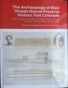
The Archaeology of Blair Woods Nature Preserve Historic Fort Colorado
Ethnohistorical records show how early 19th-century Spanish Provincial and Republic of Mexico administrative settlement practices transcended to the ad interim Republic of Texas. The commander of Fort Colorado, Colonel Robert M. Coleman, and its’ blacksmith, Noah Smithwick, imbued the compound, writings, and drawing with their Living Memory and Cultural Memory. Before 1836, Robert M. Coleman served as the Presidente de la Ayuntamiento de Mina and the Alcalde de Mina. The archival study presents an emic perspective that past land-tenure consultation agreements between indigenous peoples and Spanish administrators guided the Colonel’s decision to establish Fort Colorado at a particular Place. Fort Colorado was one mile east of El Camino Real de los Tejas National Historic Trail at a Place Captain Zebulon Pike described as a “Spanish Station,” in 1806. Researchers demonstrate how the fort location was at the periphery of the Villa de Mina pastureland, and this Accumulative Landscape was between the national historic trail upper and lower roads between Austin and Bastrop. Sergio and Melinda Iruegas apply most up-to-date Historical Archaeology method and theory to interpret how Fort Colorado was part of the ad interim government’s system of forts and reveal their locations correlated with indigenous ideological boundaries and spatial dimensions from the Colorado to Trinity Rivers. As the command center, Fort Colorado regulated trade coming into Austin from the east. King Felipe V and President Thomas Jefferson desired a direct east-west trade route with western provincial and territorial areas, since 1718 and 1804. By 1836, Fort Colorado guaranteed the Republic of Texas Congress’ economic corridor shifts from the former Spanish capital in San Antonio to the republic’s new capital in Austin. Fort Colorado is a significant military installation site in our state and national history for its role leading to the opening and settlement of the United States Western Territories.
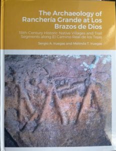
The Archaeology of Ranchería Grande at Los Brazos de Dios
Unearthing provenance of cultural material assemblages found in domestic homes, aided by 18th-century historical records, archaeologists have reconstructed the daily lives of inter-meshed peoples at Rancheria Grande. Sergio and Melinda Iruegas use this case-study to demonstrate how historical archaeology is based on different disciplines to interpret the past, and the result is a more balanced, hidden, emic narrative of Coahuiltecan, Tejano, and Spanish persistent cultural traditions.
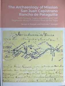
The Archaeology of Mission San Juan Capistrano Rancho de Pataguilla
Ethnographical records show how 18th-century Spanish Provincial administrators and royal inspector imbued writings and maps with their Living Memory and Cultural Memory. Los Chayopines , the Rancho de Pataguilla, and the Place known as Laguna de Pataguilla has remained elusive in location and in context of the indigenous peoples’ hidden historical narrative – until now. El Camino Real de los Tejas National Historic Trail connects the rancho within Mission San Juan pastureland to other mission complexes. Since the initial 1718 consolation agreement between Spanish and Native Governors, the bountiful harvest area was the Place where Los Chayopines lived. Sergio and Melinda Iruegas apply most up-to-date Historical Archaeology method and theory to interpret and reveal how Spaniards adopted local customs of extended clan family’ areas. Indigenous peoples of Texas and Spaniards collaborated in the founding of the mission compounds, agriculture fields, pasturelands, and Tierras de Rodeos del Medio. Together, they formed the mission pastureland ideological boundaries and assigned rancho spatial dimensions, which represents the missions’ Accumulative landscape. The significance of Rancho de Pataguilla is manifest considering the cattle and transportation industry. A majority of the 18,449 head of longhorn cattle came from Laguna de Pataguilla area in El Rincon, which was part of Texas’ contribution to the American Revolution